
The Sketch
A day with a late start, but, horror of horrors, a day where I’m posting about a day of geocaching rather than parkruns or walking up Wainwrights. So here we go with Dickie’s Demise. If you’ve already guessed where I went then well done. Award yourself a Scooby Snack. Otherwise, read on!
A Slow Start
 Yesterday was running club Presentation Night. As a result I’d had a fairly late night. Some beer had been involved, but not enough to stop me from going out. At this time of year (and at any, really) there are two choices for geocaching really. Either pick at odd ones-and-twos, moving between them as you go, or go for a walk. The weather for today looked very much like the former would be the wise choice.
Is there a Plan?
If there was, it was to amble around the locale picking off geocaches from the various national series: Church Micros, Fine Pair, Village Signs, Village Halls, Sidetracked, YOSMs and War Memorials. I’ve actually tried this in the area on a couple of previous occasions, but then mainly focused on Church Micros. Since those days many more have appeared in the villages that belong to other series. There were certainly enough to pass a few hours.
As with all plans, I started by breaking it, and doing a cache that’s not from any of the national series. Just a random drive-by in Snarestone. I know there’s a canal series here too, but I have neither the equipment nor the skill to attempt kayaking at this time of year. So a random drive-by. I was close to giving up and going home though, as the village seems to be a rare spot that my mobile phone provider has yet to penetrate. I got there eventually. And yes, I guess. I was in the car attempting odd ones-and-twos, so I only took my phone, thereby risking the wrath of the God of Signals.
Back on Track
Congerstone has a couple of Fine Pairs. The sketch for those is that they must start in a location from which you can see a red postbox and an old red telephone box in close proximity. Rural villages quite often have these, although the telephone boxes are now mainly used to house local libraries or defibrillators. Often, due to the proximity of other caches, Fine Pairs manifest as multi-caches. In this case there was one trad (Bilstone) and one multi (Congerstone).
Not far from here I really got back on track, as it were, with a Sidetracked at Shackerstone, which is the home of one end of the heritage Battlefield Line Railway. Trains don’t run at this time of year though, so it was a quick jump out of the car to find a bit of tupperware hidden in a tree.
 From here I headed east a little to the wonderfully-named Barton in the Beans followed by Carlton, where I found a couple of caches from the “other” national series. FYI. Those celebrate public information signs that you find at points of interest. I’ve done quite a few, but I don’t have them in my National Series records because the concept is not as well developed online as the other series. By that I mean the maintenance of bookmark lists and stats pages doesn’t seem great. But anyway, two FYIs here before a “Really Sidetracked” in Market Bosworth.
I sat in the car for a few minutes here deciding what the route should be. I settled on going to the battlefield heritage centre just to the south. Maybe a walk would be good.
History, innit
You can’t beat a bit of history when you’re out caching. I remember one day randomly stopping next to one of the surviving (and, in fact, probably the most intact) Eleanor Crosses at Geddington in Northamptonshire. Geocaching out in the countryside does that occasionally.
Anyway, back at today’s bit of history. Bosworth Field is where Richard III was killed – the last English king to die in battle. According to Shakespeare he was quoted as saying “A horse, a horse, my Kingdom for a horse.” Presumably he eventually found one and rode it back to Leicester where he’d parked his car. Someone must have nicked his car though, because ultimately he was buried in the car park until someone found him in 2012.
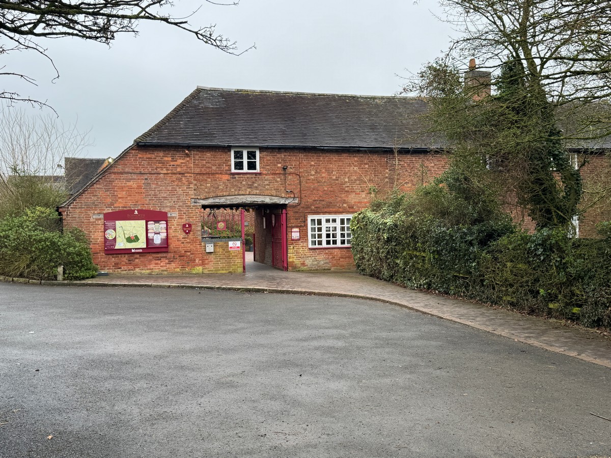
The Battlefield Heritage Centre has a nice big car park. It’s maybe not that surprising for a cold January afternoon that there were only a couple of other cars in it. And as an added bonus, the “pay by phone” option used an app I already have on my phone. So that was easy. How long for though? I dunno. Let’s go for 2 hours. It’ll be dark in three, so two should be plenty.
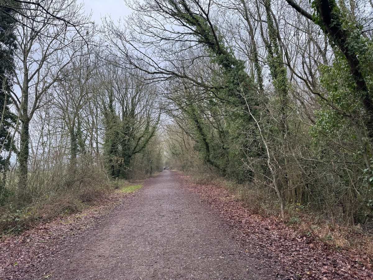
I didn’t go inside the Heritage Centre itself – that can be saved for another day. I was mainly aiming to complete their set of Adventure Labs and grab the 3-4 physical caches that I’d pass on the way. The walk outbound took me last three of the five labs and then out onto the back end of the old railway line which half a mile north becomes the Battlefield Line. More of that in a bit.
Ooh!
When I joined the railway line I initially turned south. There was a cache 300 m along that I wasn’t sure about until I realised it was Leicestershire’s Little Quest. The form for these is that there’s one (and only one) in each of England’s ceremonial counties. If you work hard and find all of them you should be able to claim enough codes to enable finding of a single super bonus, which looks like it’s on a hill near Chorley. Somehow I’ve never done any of the others, which is a bit of a disappointment. They tend to be a bit on the “lonesome” side, to be honest, so not necessarily very appealing when you have limited time available for caching. Count it as a long-term exercise which I may, or may not, finish. Much like Wainwrights. Not like parkruns though, because I’m never going to “finish” those.
Back at the plot, Leicestershire’s Little Quest was down the bank at the side of the old railway line. A steep bank. Steep enough (in the slippery conditions) that I needed to wrap my arms round the trees to smooth the descent. I got there eventually though.
Slip-Sliding Away
The next cache was further north, just south of Shenton Station. It was a “Sidetracked” but it proved more of a sidetrack than I could manage. It was supposedly a magnetic bolt stuck somewhere on the bottom of an overhead bridge. Getting to it therefore involved climbing a slope. A muddy slope. And because it was a slope underneath a bridge, there weren’t any trees to hang on to. Somehow I got quite close to the top, but then put one foot slightly wrong and slid all the way back down again. Halfway down I lost my footing and slid down on my knees, resulting in some very dirty trouser legs. I wasn’t really up for a real-life game of snakes and ladders, and I hadn’t spotted the cache location while I was (briefly) up the slope, so I decided not to continue.
The left me with a bracing walk through Shenton Station and then back to the Battlefield Centre, via the remaining two Ad Lab stages and a puzzle that I couldn’t find. Well, I might have, but that was a bird box which I couldn’t figure out how to open, so I let it be. Anyway, it had started to rain and I was getting wet.
Excellent Naming
So having done with the battlefield I drove through Shenton and then Sibson before ending up at the wonderfully named villages of Sheepy Magna and Sheepy Parva. Presumably “magna” is traditionally a bigger village than “parva” – but anyway, excellent names. I’ve driven by signs for them many times but never driven in. Ultimately they are small villages, so there’s not a lot there on a cold January afternoon. There was a single national series cache though, which I duly found, and then another that I couldn’t find.
By this time I’d more or less had enough. There was only an hour of light left but I’d been out for four hours, so I decided to jack it in and drive home. We went out for a curry for dinner, so that was a bonus. 22 finds is OK, given the time I got started.


